
India / Namdapha / Zones of Namdapha — trekking corridors and altitude belts
Zones of Namdapha — trekking corridors and altitude belts
Namdapha has no conventional safari zones. It is divided into a trekking corridor (the Noa-Dehing valley) and altitude bands from subtropical to alpine. Access is by foot with an assigned guard.
The zones and trekking corridors
Stilwell Road entering the forest gate at Namdapha — the only vehicle access point
Ratio 16:9 · Alt: Forested road leading into Namdapha National Park near Miao gate · Why: The single access point sets the context for how the zones work.
| Zone / Corridor | Type | Altitude | Access Mode | Open |
|---|---|---|---|---|
| Noa-Dehing River Corridor | Main trekking route | 200–600 m | Trek / 4WD (partial) | Nov – Apr |
| Hornbill Camp Zone | Core forest camp | 350–500 m | Trek (3–4 days from gate) | Nov – Mar |
| Vijaynagar Plateau | Remote end-point | 1,200 m | Charter flight or 10-day trek | Dec – Feb only |
| Alpine Zone (above 3,000 m) | High-altitude belt | 3,000–4,500 m | Expedition only | Specialist permit |
Noa-Dehing — the main corridor
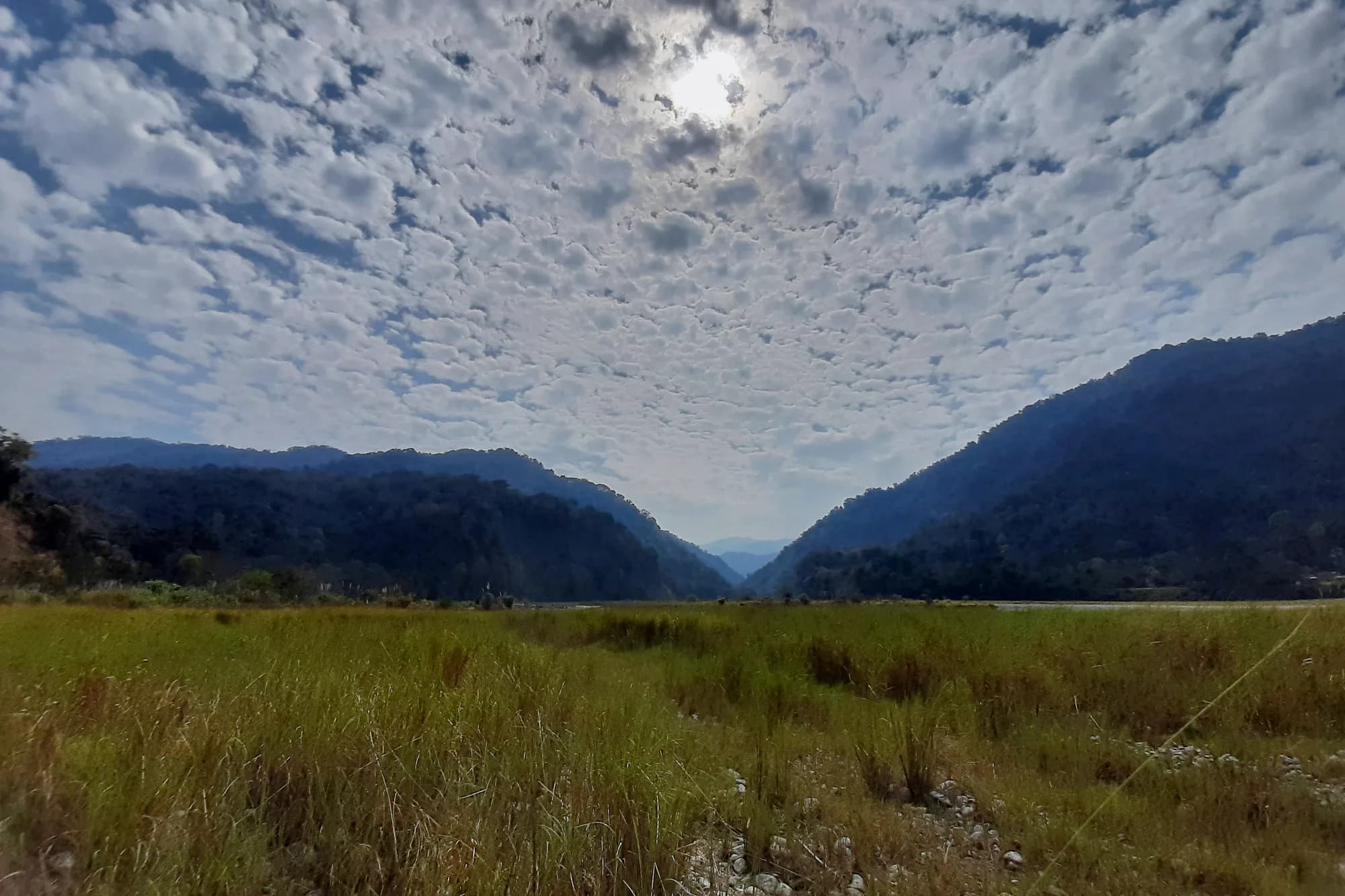
The Noa-Dehing river valley is the spine of Namdapha. The Stilwell Road follows it from Miao gate toward Vijaynagar. Jeeps can cover roughly 26 km to the first camp; beyond that everything is on foot. This corridor holds hoolock gibbons, clouded leopards, and all four hornbill species.
The Hornbill Camp zone
Three to four days trek from the gate, Hornbill Camp is the primary destination for visiting naturalists. The camp sits in the subtropical zone where forest is dense and gibbon calls are audible at dawn. All four hornbill species are regularly seen from the camp clearing at first light.
Vijaynagar — the far end
Vijaynagar is one of the most remote inhabited places in India — a village at the end of the Stilwell Road accessible only by a 10-day trek or a charter flight from Deban. The biodiversity at this elevation includes red panda and pika. A special permit from the DFO is required to visit beyond Hornbill Camp.
Altitude zones and what they hold
Namdapha spans four vegetation zones in one park. Subtropical forest (200–900 m) holds gibbons and hornbills. Temperate broadleaf (900–2,000 m) has red panda and clouded leopard territory. Sub-alpine (2,000–3,500 m) yields Sclater's monal and snow leopard sign. Above 3,500 m is alpine meadow — essentially inaccessible without an expedition permit.
Access and permit rules
All visitors need an ILP (Arunachal Pradesh) and a separate forest entry permit from the DFO Miao. Beyond Deban (the first camp), a forest guard must accompany the group. Overnight stays at Hornbill Camp require booking through the Forest Range Office.
What you can realistically see
Hoolock gibbons are almost guaranteed on a multi-day visit to Hornbill Camp — their morning calls carry far. Great hornbills are reliable. Clouded leopard tracks are frequently found but the animal itself is rarely seen. Sun bear and Asiatic black bear are occasionally encountered on trails.
Photography conditions by zone
The Noa-Dehing corridor gives the best light — open riverbank areas at dawn. Inside the subtropical forest, light is heavily filtered; a fast lens (f/2.8 or better) is essential. Hornbill Camp clearing is the best photography position. Above 1,500 m the canopy thins and light improves.
Guide and escort requirements
A forest guard (escort) is compulsory for all trekking beyond Deban. The DFO Miao office assigns escorts on a rotating basis. It is strongly recommended to hire a local naturalist guide separately — guards are mandatory but not always equipped to identify species.
Choosing where to go
For first visits: trek to Hornbill Camp (3–4 days). You will cover the subtropical zone with the best species density and manageable logistics. For specialists with 10+ days, push toward Vijaynagar for the temperate zone. The alpine zone requires an expedition and a separate permit — do not attempt without prior DFO approval.