
India / Buxa / When to go to Buxa
When to go to Buxa
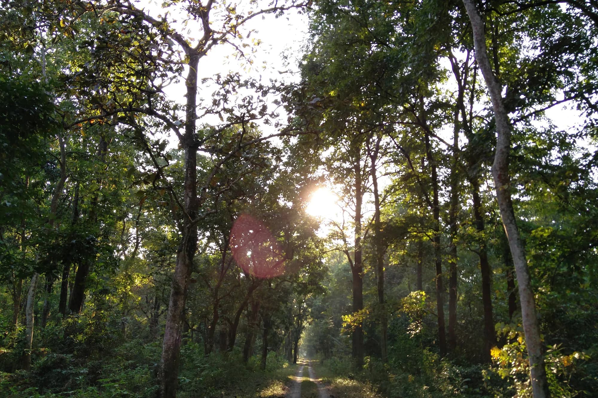
The Dooars forest against the Bhutan hills. The core is open November to May — the elephant corridor is best explored November to April, before the monsoon makes the Buxa river impassable.
The season, in one line
Core opens 1 November and closes at the monsoon onset (typically late May to June). November to April is the prime window. The Dooars are among the wettest terrains in India; even 'dry season' months receive meaningful rainfall.
Open · Core & Buffer
Open · Core & Buffer
Open · Core & Buffer
Open · Core & Buffer
Open · Core & Buffer
Core Closed · Buffer Open
Core Closed
Core Closed
Core Closed
Open · Core & Buffer
Open · Core & Buffer
Open · Core & Buffer
Buxa forest at dawn with elephants on the Bhutan corridor
Ratio 16:9 · Alt: Elephant herd in the Dooars forest near the Bhutan corridor at Buxa Tiger Reserve · Why: The elephant corridor between India and Bhutan is Buxa's defining ecological feature.
Dooars rainfall and the closure
Buxa lies in the Dooars — one of India's wettest zones with ~3,500 mm of annual rainfall. June to September delivers over 80% of it. The Buxa and Jayanti rivers flood their banks. The forest department closes the core and vehicle access is impossible during this period.
Month by month, in full
| Month | Mean min °C | Mean max °C | Record min | Record max | Rainfall mm | Core |
|---|---|---|---|---|---|---|
| January | 8.0 | 22.5 | 3.0 | 28.0 | 20.0 | Open |
| February | 10.5 | 25.5 | 5.0 | 31.0 | 35.0 | Open |
| March | 15.0 | 29.5 | 9.0 | 35.0 | 62.0 | Peak Open |
| April | 19.0 | 32.5 | 14.0 | 37.5 | 155.0 | Peak Open |
| May | 23.0 | 34.0 | 18.0 | 38.5 | 295.0 | Open to closure |
| June | 25.0 | 32.0 | 21.0 | 35.5 | 720.0 | Closed |
| July | 25.5 | 31.0 | 22.0 | 34.0 | 840.0 | Closed |
| August | 25.0 | 30.5 | 21.5 | 33.5 | 790.0 | Closed |
| September | 24.0 | 30.5 | 20.0 | 33.5 | 410.0 | Closed |
| October | 19.0 | 29.0 | 14.0 | 33.0 | 120.0 | Opens Nov |
| November | 13.0 | 26.0 | 7.0 | 30.0 | 18.0 | Open |
| December | 8.5 | 23.0 | 4.0 | 28.0 | 12.0 | Open |
November to April — the open season
March and April are the warmest dry months (29–34°C) and elephant herds are most visible near the Jayanti river. November and December are cooler (8–26°C) and ideal for birding — the Dooars is among India's richest birding zones with over 350 species recorded.
Winter in the Dooars
January brings the coldest mornings (8°C) and occasional mist in the low-lying grasslands. Unlike the Himalayan parks, no heavy cold weather gear is needed. A fleece and waterproof jacket is sufficient. Morning mist often lifts by 09:00, creating excellent photographic conditions in the sal forest.
Closure rules
Core closure
June – October
The core zone closes from roughly June to October. Exact dates may vary year to year based on monsoon arrival. The buffer zone (Jayanti area) remains open for limited access.
No ILP required
West Bengal is open to all
Buxa requires only the standard forest permit. No Inner Line Permit needed. Permits obtainable from the Buxa Forest Range or Rajabhatkhawa entry points.
Safari timings
Morning safaris from Rajabhatkhawa and Buxa Fort camps depart at 06:00 and return by 10:00. Evening safaris run from 14:30 to 18:00. Walk-based nature interpretation is available at the Rajabhatkhawa Eco Camp with resident naturalists.
The monsoon
The Dooars is one of India's wettest regions. July alone brings 840 mm of rainfall. The Buxa and Jayanti rivers rise rapidly. Core zone roads are flooded and impassable. The Jayanti buffer area allows limited walking in some years, but vehicular access is not possible.
When to book
- March and April — best elephant movement and dry conditions. Book Rajabhatkhawa accommodation 30+ days ahead.
- November — opening month; green forest and excellent birding.
- December to February — cold mornings and lower visitor numbers; ideal for birding specialists.
Data source note
Climate figures from Jalpaiguri IMD station
Buxa lies between Alipurduar and Jalpaiguri. IMD data from the Jalpaiguri station (the nearest official reporting point) has been used. The reserve interior, particularly the northern Bhutan foothills, may be marginally cooler and wetter.