
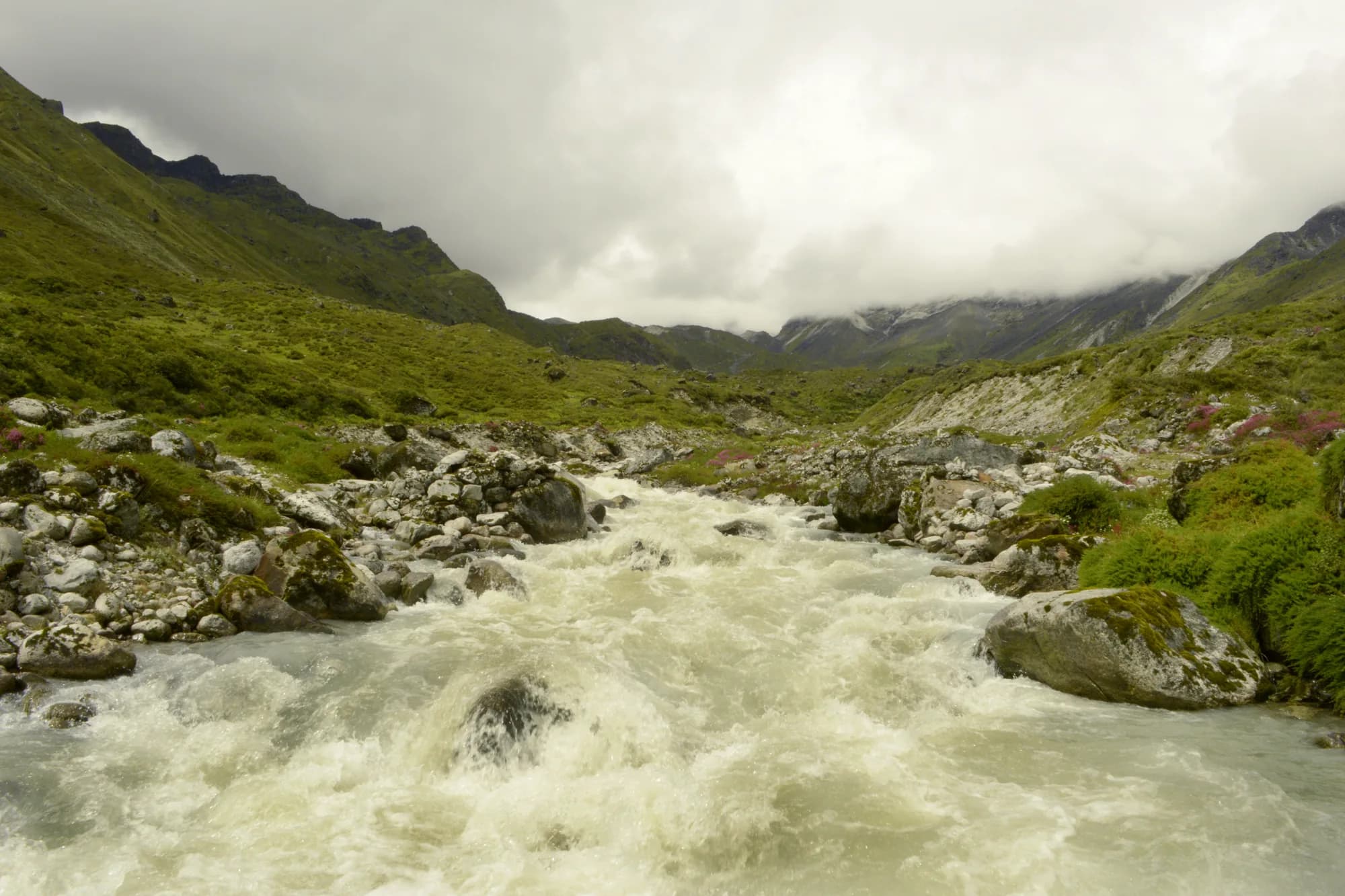
India / Khangchendzonga / Khangchendzonga zones & trek routes
Khangchendzonga zones & trek routes
India's highest national park spans over 7,000 m of vertical range. The Yuksom–Dzongri–Goecha La circuit is the primary trekking route. Wildlife zones differ completely by altitude: red panda at mid-elevation, snow leopard above 4,000 m.
Altitude zones at a glance
| Zone | Altitude | Habitat | Key Wildlife | Open Months |
|---|---|---|---|---|
| Yuksom–Tshoka | 1,780–3,050 m | Rhododendron forest | Red panda, tragopan | Apr–May, Oct–Nov |
| Dzongri plateau | 4,020 m | Alpine meadow | Bharal, monal | Apr–May, Oct–Nov |
| Samiti Lake | 4,200 m | High alpine | Snow leopard (rare) | Apr–May, Oct |
| Goecha La | 4,940 m | High pass / glacier | Kanchenjunga view | Apr–May, Oct |
Goecha La viewpoint with Kanchenjunga massif at dawn in Khangchendzonga National Park, Sikkim
Ratio 16:9 · Alt: Goecha La viewpoint at 4,940 m with Kanchenjunga south face illuminated at sunrise in Khangchendzonga National Park
Yuksom entry zone
Yuksom (1,780 m) is the gateway town and the only authorised entry point for the Goecha La circuit. All permits and guide arrangements are made here. The town itself is historically significant — it was the first capital of Sikkim. Guesthouses, trek agencies and government-registered guides are all based in Yuksom.
Dzongri plateau zone
Dzongri (4,020 m) is reached in 3–4 days from Yuksom. The plateau offers panoramic views of the Kanchenjunga range and is the primary bharal grazing ground below the permanent snowline. Himalayan monal is commonly sighted in the mixed scrub at the plateau edge. The Dzongri Top viewpoint (4,200 m) gives the clearest mountain view in the park outside of the Goecha La approach.
Goecha La high zone
The Goecha La pass (4,940 m) is the highest point accessible by trekkers without technical climbing equipment. The approach via Samiti Lake (4,200 m) passes through open moraine terrain where snow leopard sign has been reported. The final viewpoint faces the full south face of Kanchenjunga at close range. Altitude sickness risk is real — acclimatise carefully with rest days at Dzongri.
Tshoka and Samiti Lake
Tshoka (3,050 m) is the first significant camp on the Goecha La route — a sheltered wooded valley with good red panda and satyr tragopan habitat. Samiti Lake (4,200 m), on the approach to Goecha La, sits at the edge of permanent snowfields and is where bharal congregate. Snow leopard tracks have been documented here in October.
Lower subtropical zones
Below 2,000 m, the park includes subtropical forest with leopard, barking deer and diverse birdlife. This lower zone is rarely visited by trekkers but accessible on short day walks from Yuksom. The forests between Yuksom and Khecheopalri Lake hold leopard cat, binturong and the great hornbill.
Inner line and park permit rules
An inner line permit (ILP) is required for all visitors at the Yuksom check post. Foreign nationals also require a Protected Area Permit (PAP) from Gangtok's Sikkim Tourism office. Group minimum of 2 persons and a licensed local guide is mandatory for all zones above Tshoka. Camping permits are issued at Yuksom.
Camping and accommodation zones
Designated camp sites
Yuksom, Tshoka, Dzongri, Kokchurung, Samiti
Camping is only permitted at designated sites. All camping equipment and food are carried by licensed porters from Yuksom. No open fires in the park — gas stoves only.
Teahouse accommodation
Available at Yuksom and Tshoka only
Basic guesthouses are available at Yuksom and Tshoka. Above Tshoka all accommodation is tented camp. Bring a -15°C sleeping bag for Dzongri and above.
Best zones for each species
- Red panda — Yuksom–Tshoka rhododendron zone (2,500–3,050 m), early morning April.
- Satyr tragopan — Dense forest 2,800–3,200 m near Tshoka. Dawn calls.
- Himalayan monal — Dzongri plateau edge and open scrub below Goecha La.
- Bharal — Samiti Lake and Dzongri plateau (4,000–4,500 m). October–November.
- Snow leopard — Samiti Lake moraine and upper Goecha La. Extremely rare sight.
Data source
Zone data from Sikkim Forest Dept and UNESCO WHC
Altitude data, zone boundaries, wildlife distribution and permit information from Sikkim Forest Dept Yuksom range office and UNESCO World Heritage Centre documentation. Checked 8 Sep 2026.