
India / Neora Valley / Neora Valley zones & access routes
Neora Valley zones & access routes
Dense, largely trackless Himalayan forest accessible only on foot with a licensed guide. Entry from Lava (2,350 m) or Kolakham (1,850 m). No jeep safari circuits — this is a wilderness walking park.
Access zones at a glance
| Zone / Route | Altitude | Habitat | Best For | Open Months |
|---|---|---|---|---|
| Lava entry | 2,350 m | Evergreen, bamboo | Red panda walks | Mar–May, Oct–Nov |
| Rachela Pass | 3,152 m | Rhododendron, bamboo | Red panda, views | Apr–May, Oct |
| Kolakham | 1,850 m | Mixed, subtropical | Birding, forest walks | Mar–May, Oct–Nov |
| Upper forest | 2,800–3,100 m | Dense rhododendron | Clouded leopard | Apr–May only |
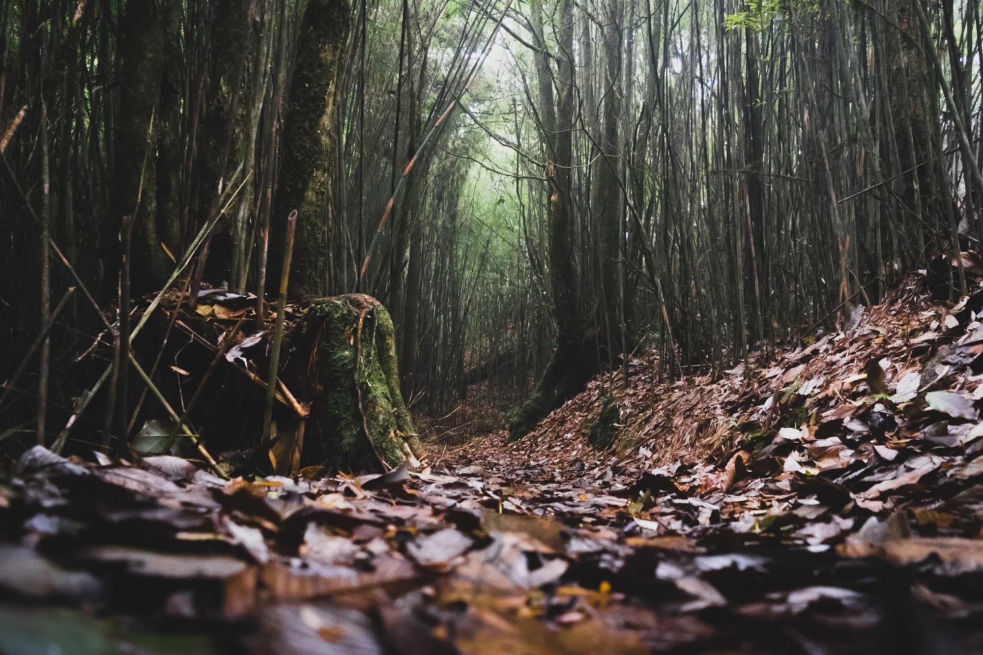
Dense evergreen forest canopy in Neora Valley National Park with rhododendron in bloom, Kalimpong district
Ratio 16:9 · Alt: Dense primary forest canopy in Neora Valley National Park with rhododendron flowering at altitude in March
Lava entry zone
Lava is the primary entry point for Neora Valley, 32 km from Kalimpong. The range office issues permits and arranges licensed guides. The standard guided walk from Lava covers 3–5 km of forest trail reaching the bamboo-rhododendron zone at 2,600–2,800 m — the primary red panda habitat. Early morning starts (05:30) are essential for sighting odds.
Rachela Pass route
The full-day walk to Rachela Pass (3,152 m) — approximately 9 km one-way from Lava — is the most productive wildlife route. The upper section passes through dense rhododendron and silver fir forest where both red panda and clouded leopard territory overlap. Permitted only with a licensed guide and prior range office approval.
Kolakham forest section
Kolakham (1,850 m) is the lower entry point, 22 km from Kalimpong. The forest here is mixed subtropical with more bird diversity at lower altitude. Birding walks from Kolakham are accessible without the altitude acclimatisation required for Rachela. The great hornbill, green-billed malkoha and various babblers are regularly seen.
Upper altitude zones
Above 2,800 m, the forest becomes denser and the trails unmarked. Clouded leopard territory is concentrated here — sign is found (scratch marks, scat) but visual sightings are extremely rare. Satyr tragopan territory also overlaps this zone. Access only in April–May when snow has cleared from the upper paths.
Buffer zone
The Neora Valley buffer includes community and reserve forest adjacent to the core. Birding in the buffer from Lava village trails (no permit required) is good for Himalayan species including rufous-bellied niltava, chestnut-crowned warbler and various fulvettas. Guides know which sections are buffer vs core.
Permit and guide rules
Entry permits issued at the Lava range office (or Kolakham check post). Guides are mandatory for all core forest walks — the forest has no marked trails. The range office maintains a list of licensed guides; most are community members from Lava who know the red panda territories well. Daily visitor quotas apply in peak season.
Forest access conditions
Monsoon closure
June – September
Core forest closed due to landslide risk and trail conditions. Leeches present throughout the forest from June. Lava village accommodation open but park access suspended.
Winter access
January – February
Snow on upper trails (above 2,800 m) from December to February. Lava entry and lower sections accessible in January with ice gear. Rachela Pass route closed by snow December–March.
Best zones for each species
- Red panda — Bamboo-rhododendron zone 2,600–2,900 m (Lava to Rachela). Early morning, April best.
- Clouded leopard — Upper forest above 2,800 m. Extremely rare visual; sign is the best expectation.
- Satyr tragopan — Dense forest 2,400–2,800 m. Dawn calling in April.
- Great hornbill — Kolakham lower forest. Reliable year-round.
- Himalayan monal — Upper scrub near Rachela Pass (April–May).
Data source
Zone data from West Bengal Forest Dept
Zone boundaries, altitude data and access rules from Neora Valley NP / Lava range office records. Checked 8 Sep 2026.