
Nepal / Chitwan / Zones — Chitwan
Zones — Chitwan
Forget numbered zones and gate ballots. The divisions that matter at Chitwan are core against buffer zone, and east against west.
Core park and buffer zone are different places
The core is the national park proper: 932 square kilometres of sal forest, riverine woodland and alluvial grassland between the Rapti and the Narayani. You enter it with a licensed guide, on a ticket bought for that day, in a vehicle the park has charged for or on foot with two guides. You cannot take your own car in and there is no self-drive circuit.
Around it sits the buffer zone: 750 square kilometres of community forest and settlement, declared in 1996, managed by local users' committees with their own gates and their own tickets. It is not a consolation prize. Rhino move freely across the boundary, the forests are quieter and closer to the lodges, and a late afternoon in Baghmara is frequently a better use of the time than a rushed second drive in the core.
What the two halves are for
| Core park | Buffer zone community forests | |
|---|---|---|
| Area | 932 sq km | 750 sq km around the core |
| Managed by | The park, under DNPWC | Local users' committees |
| Ticket | National schedule; see the permits page | Bought separately at each forest's gate |
| Access | Licensed guide compulsory; no private vehicles | Guided walks, jeeps and canoes, varying by forest |
| Best for | Tiger odds, distance, Kasara and the gharial centre | Rhino at short range, birds, late afternoons, short notice |
Your park ticket does not admit you to a community forest, and a community forest ticket does not admit you to the core. Areas from the PARKS source below.
Dhakal & Thapa — Buffer zone management issues in Chitwan National Park, PARKS Vol 21.2, IUCN, November 2015
Peer-reviewed. Gives the park as established in 1973, inscribed by UNESCO in 1984, and covering 932 square kilometres; the buffer zone as declared in 1996 over 34 Village Development Committees and two municipalities totalling 750 square kilometres; and the revenue share to the buffer zone as 30 to 50 per cent of park revenues, allocated 30 per cent conservation, 30 per cent community development, 20 per cent income generation and skills, 10 per cent conservation education and 10 per cent administration. Read 28 September 2026. Note the age: the administrative units it names were reorganised after Nepal's 2017 local government restructuring.
http://parksjournal.com/wp-content/uploads/2015/10/Dhakal-and-Thapa-PARKS-21.2-10.2305IUCN.CH_.2014.PARKS-21-2BD.en_.pdfHow the buffer zone model works, and why it exists
Chitwan was gazetted in 1973 as Nepal's first national park and inscribed by UNESCO in 1984. For its first two decades the relationship with the surrounding villages was largely adversarial — grazing, extraction and poaching on one side, exclusion on the other. The buffer zone declaration of 1996 was the attempt to change the incentive, and it is a large part of why the rhino population recovered rather than collapsed.
- Thirty-four Village Development Committees and two municipalities adjacent to the park were declared buffer zone in 1996, covering 750 square kilometres.
- Between 30 and 50 per cent of park revenues are committed to community development and natural resource management in those settlements.
- The published allocation splits that money 30 per cent conservation, 30 per cent community development, 20 per cent income generation and skills, 10 per cent conservation education and 10 per cent administration.
- The Buffer Zone Management Regulation leaves the exact percentage to the Ministry, weighed against the park's annual income, the buffer zone's population and area, and the impact the park's wildlife has on the people in it.
- Distribution between individual users' committees is decided by a committee chaired by one of their own presidents, with the park warden as member-secretary, released quarterly, after compensation claims for wildlife damage are set aside.
Why a visitor should care about an administrative arrangement
Because it tells you what your ticket does. The households absorbing crop raids and the occasional fatality are the households receiving the revenue share, and the community forests you pay to walk in are managed by their committees. It is a rare case where the question of where safari money goes has a documented answer rather than a brochure one.
Dhakal & Thapa — Buffer zone management issues in Chitwan National Park, PARKS Vol 21.2, IUCN, November 2015
Peer-reviewed. Gives the park as established in 1973, inscribed by UNESCO in 1984, and covering 932 square kilometres; the buffer zone as declared in 1996 over 34 Village Development Committees and two municipalities totalling 750 square kilometres; and the revenue share to the buffer zone as 30 to 50 per cent of park revenues, allocated 30 per cent conservation, 30 per cent community development, 20 per cent income generation and skills, 10 per cent conservation education and 10 per cent administration. Read 28 September 2026. Note the age: the administrative units it names were reorganised after Nepal's 2017 local government restructuring.
http://parksjournal.com/wp-content/uploads/2015/10/Dhakal-and-Thapa-PARKS-21.2-10.2305IUCN.CH_.2014.PARKS-21-2BD.en_.pdfGovernment of Nepal — Buffer Zone Management Regulation, 1996
Rule 26 sets the mechanism rather than the number: the Ministry prescribes what percentage of park income is spent on community development, weighing the park's annual income, the buffer zone's population and area, and the impact the park has on it. Distribution to individual users' committees is decided by a committee chaired by a users' committee president with the warden as member-secretary, and released quarterly, after compensation claims are set aside. Read 28 September 2026.
https://www.forestaction.org/app/webroot/vendor/tinymce/editor/plugins/filemanager/files/images/stories/Buffer_Zone_Mngmnt_Regulation_1996Nepal.pdfSauraha, the eastern entry
Sauraha sits on the Rapti at the park's north-eastern corner and it is where most visitors go. It is a tourist town in the full sense — guest houses, restaurants, souvenir stalls, a riverfront where everyone gathers for sunset — and the park boundary is a river's width from the last building. People arrive expecting a wilderness outpost and find a working high street. That is not a criticism; it is why everything is easy here.
- The widest choice of guides, and the only place where you can realistically change guide mid-stay.
- Every accommodation tier from backpacker to comfortable, and the most competition on price anywhere near the park.
- Canoe departures on the Rapti a short walk from most lodges.
- Baghmara and Kumroj community forests within very easy reach, which makes short-notice afternoon activities possible.
- The elephant question is most visible here, because this is where the remaining safari elephants and their owners are.
- Tharu cultural performances in the evening are a Sauraha institution and vary enormously in quality.
Sauraha is the busiest gate by a wide margin
The park recorded 272,923 visitors in fiscal 2025/26 and the overwhelming majority came through this side. In the January and February peak the riverfront and the morning departures are genuinely crowded. If crowds are the thing you are trying to escape, this is the fact to plan around.
Bajarko Chirfar — Chitwan National Park tourist arrivals and revenue, 19 July 2026
Reports park figures for the Nepali fiscal year 2025/26: 272,923 visitors against 231,329 the year before, of whom 161,375 were Nepali, 22,883 from SAARC countries and 88,665 other foreign nationals; ecotourism revenue of Rs 27 crore 63 lakh 39 thousand 950, that is NPR 276,339,950. Read 28 September 2026.
https://eng.bajarkochirfar.com/2026/07/19/chitwan-national-park-tourist-arrivals-revenue/Meghauli in the west, Kasara in the middle
Meghauli lies to the west, near the Narayani, and it is the quiet alternative. Fewer beds, fewer vehicles, longer transfers from almost every arrival point, and closer to the open grassland Chitwan is actually famous for. Kasara, in the middle, is the park headquarters and the site of the gharial breeding centre — a destination on a full-day drive rather than a base.
Choosing an end
| Entry | Position | Character |
|---|---|---|
| Sauraha | North-east, on the Rapti | Most lodges, guides and departures; busiest; easiest to arrange anything at short notice |
| Meghauli | West, near the Narayani | Quieter, fewer beds, grassland and big river; longer transfer from Bharatpur |
| Kasara | Central, park headquarters | The park office and the gharial centre; the turning point of a full-day drive |
There is no wrong answer. Sauraha is the default because it works; Meghauli is the answer if the crowd is what you are avoiding and you can absorb the extra transfer time.
The practical difference is the morning. From Sauraha you are minutes from a canoe launch and a short drive from an entry point, with a dozen alternatives if something falls through. From Meghauli you are in quieter country with fewer vehicles sharing your sightings, and considerably further from the infrastructure when something goes wrong.
The three community forests worth knowing
- Baghmara — the closest to Sauraha and the easiest afternoon in the whole park. Sal forest, grassland and a good chance of rhino at short range without a long drive. The default second activity for anyone with half a day spare.
- Kumroj — quieter than Baghmara, similar habitat, run by its own users' committee. Less visited, which is most of its appeal, and correspondingly fewer departures to join.
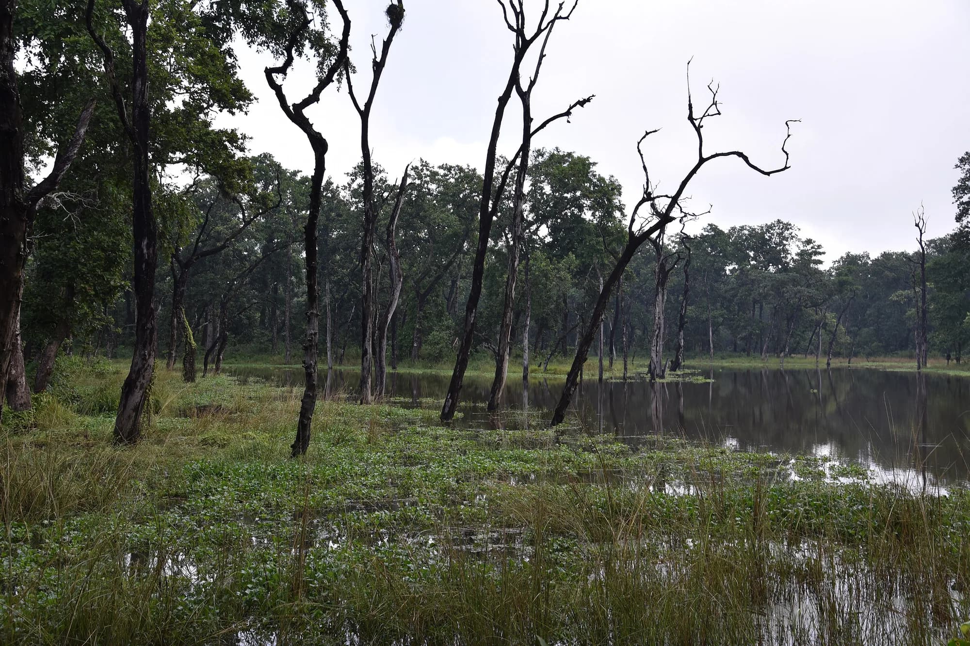
- Bishazari Tal — an oxbow lake system in the buffer zone, listed on the Ramsar list as Beeshazar and Associated Lakes. The best birding within reach of Sauraha, and a completely different landscape from the sal forest around it: open water, reed and marsh rather than trees and grass.
Where the elephant rides are
The safaris that still run at Chitwan operate in these buffer zone community forests, not in the park core, where riding has not been permitted for about fifteen years. The safari booking page sets out what the Supreme Court ordered, what is verifiable about current practice and what is not.
Why there are no numbered zones, and no self-drive
Readers arriving from India will be looking for the familiar structure: Zone 1 through Zone 6, a named gate for each, a fixed jeep quota per zone per shift, and an online ballot months ahead that decides which one you get. None of that exists at Chitwan. Entry points are geographic rather than allocative, no zone is rationed, and the thing that limits your day is the guide and the vehicle you arranged, not a permit lottery.
Nor is it an Etosha-style self-drive park. You cannot take your own vehicle through the core, you cannot drive yourself between waterholes, and there is no circuit of viewpoints you work through at your own pace. Every kilometre inside the boundary is with a licensed guide, and the park's vehicle charge is levied on the operator's jeep rather than on your hire car, because your hire car is not going in.
What this means for planning
Two things. First, you do not need to book months ahead to secure a particular zone, because there is no particular zone to secure — the January and February pressure is on beds and good guides, not on permits. Second, the flexibility cuts the other way: nothing is guaranteed by a booking reference, so a vague arrangement stays vague until you pin it down in writing.