
South Africa / Addo Elephant / Sightings log — Addo Elephant
Sightings log — Addo Elephant
We run no sightings log and publish no strike rates. What Addo has instead is the one thing no other park on this site can offer: an elephant population dense enough that the question is not whether, but from where.
Why Addo inverts the usual problem
Most of this site is about improving your odds. Sit at the right waterhole, come in the right month, book the right block, take the dawn drive. Addo is the exception, and the reason is in the published science rather than in enthusiasm: Gough and Kerley put Addo's estimated carrying capacity at 0.1 to 0.5 elephants per square kilometre and record stocking rates that have reached 4 per square kilometre, with no evidence of density-dependent regulation. A population running at several times its estimated capacity in a fenced area is not a population you hunt for.
So the useful advice here is not about odds. It is about position, patience and what to do with the time you are not spending searching — which at Addo is most of it.
The honest caveat
Near-certain is not certain, and it applies to elephant and to a lesser extent buffalo. It does not apply to lion, which thick thicket hides extremely well, it does not apply to black rhino, and it certainly does not apply to leopard. The park's own sightings game scores elephant at 4 points and leopard at 10, which is the scale to trust.
Gough & Kerley (2006), Demography and population dynamics in the elephants Loxodonta africana of Addo Elephant National Park, South Africa: is there evidence of density dependent regulation?, Oryx 40, 434-441
Abstract read 28 September 2026 via Crossref. Estimated carrying capacity 0.1 to 0.5 elephants per square kilometre against stocking rates that have been as high as 4 per square kilometre; population growth rate positively correlated with increasing density; mean inter-calf interval 3.3 years; no evidence of density dependent regulation, which the authors attribute to the aseasonal succulent thicket and the elephants' ability to use accumulated vegetation biomass. This is the paper that explains, in one sentence, why Addo looks the way it does.
https://doi.org/10.1017/s0030605306001189SANParks — Addo Elephant National Park visitor's map
Read 28 September 2026. The park's own printed visitor map, hosted by Nelson Mandela Bay Tourism because sanparks.org was unreachable. The file's embedded metadata gives a creation date of 12 August 2016, so it is a decade old and everything on it — gate times, distances, contact numbers, what exists at which camp — should be treated as needing confirmation. It is nonetheless the only document we could reach that carries game gate times by month, the internal speed limit, the park rules, the section-by-section activity lists and the camp-to-camp distances, and it is the park's own. It describes the larger marine protected area as proposed, which is consistent with a 2016 date; the area was declared in 2019.
https://www.nmbt.co.za/uploads/1/files/doc_addo_elephant_national_park_map.pdfThe underground hide, and the waterholes
The single most distinctive viewing position at Addo is not on a game drive. The park's map lists, among the Main Camp area's facilities, an underground viewing hide at the waterhole opposite the restaurant, with picnic and braai sites in front of the same waterhole. You are below ground level, at eye height with the water, a short walk from your room, at an hour when the game area is closed.
- Go after dinner and go again before breakfast. The hide costs nothing and does not need booking, which means the only cost of a second visit is the walk.
- Sit still and sit long. The interval between an empty waterhole and a herd walking in is not short, and everyone who leaves early says nothing happened.
- Eye-level is a different photograph from a car window, and it is the reason to bring the camera down to the hide rather than leave it in the room.
- The same waterhole has picnic and braai sites in front of it, so it is also the place to spend the middle of a hot day rather than driving through it.
- The Sasol Bird Hide is the other fixed position in the main camp area, and it is where the birding pays off.
SANParks — Addo Elephant National Park visitor's map
Read 28 September 2026. The park's own printed visitor map, hosted by Nelson Mandela Bay Tourism because sanparks.org was unreachable. The file's embedded metadata gives a creation date of 12 August 2016, so it is a decade old and everything on it — gate times, distances, contact numbers, what exists at which camp — should be treated as needing confirmation. It is nonetheless the only document we could reach that carries game gate times by month, the internal speed limit, the park rules, the section-by-section activity lists and the camp-to-camp distances, and it is the park's own. It describes the larger marine protected area as proposed, which is consistent with a 2016 date; the area was declared in 2019.
https://www.nmbt.co.za/uploads/1/files/doc_addo_elephant_national_park_map.pdfThe five places you may stand up
Addo enforces a zero-tolerance policy on getting out of vehicles in the game area and names the exceptions. There are five, they are on the map, and using them properly is most of what separates a good Addo day from a series of photographs taken through glass.
The designated lookout points
| Point | What it is for |
|---|---|
| Domkrag | A named lookout in the main game area; also the name of one of Main Camp's guest houses |
| Zuurkop | A high point; the name means sour hill and the view is the reason to stop |
| Kadouw | A named lookout in the main game area |
| Spekboom | Named for the succulent that defines the thicket here |
| Algoa Bay | The coastal outlook, towards the water that holds the marine section |
The map's wording is that you may leave your vehicle at designated lookout points "but AT YOUR OWN RISK as there are dangerous animals in the Park", and that climbing out is only allowed in designated areas indicated by signage. Jack's Picnic Site, inside the 500-hectare botanical reserve, is the other place you are out of the car.
SANParks — Addo Elephant National Park visitor's map
Read 28 September 2026. The park's own printed visitor map, hosted by Nelson Mandela Bay Tourism because sanparks.org was unreachable. The file's embedded metadata gives a creation date of 12 August 2016, so it is a decade old and everything on it — gate times, distances, contact numbers, what exists at which camp — should be treated as needing confirmation. It is nonetheless the only document we could reach that carries game gate times by month, the internal speed limit, the park rules, the section-by-section activity lists and the camp-to-camp distances, and it is the park's own. It describes the larger marine protected area as proposed, which is consistent with a 2016 date; the area was declared in 2019.
https://www.nmbt.co.za/uploads/1/files/doc_addo_elephant_national_park_map.pdfThe things people drive past
- The flightless dung beetle. Endangered, endemic, and the reason for the signs asking you not to drive over elephant dung. A beetle rolling a ball across a road is the most Addo thing that will happen to you, and almost nobody stops for it.
- Jack's Picnic Site and its botanical reserve. Five hundred hectares set aside to measure what elephants do to subtropical thicket, by comparing plant species and vegetation structure inside it against similar areas outside. Stand at the fence line and you can see the experiment.
- The spekboom itself. The succulent that gives the camp, the lookout and the whole vegetation type its name, and the thing the elephants are eating.
- Leopard tortoise, rock monitor lizard and puff adder, all of which the park's sightings game scores and all of which are on the road rather than in the thicket.
- The small carnivores: bat-eared fox, caracal, honey badger, yellow mongoose, meerkat. The map scores honey badger at 10 points, the same as leopard.
- The birds. Secretary bird and blue crane at 10 points each on the park's own scale, and the Sasol Bird Hide to sit at.
Use the park's own scoring game
The back of the Addo visitor map is a children's sightings game with point values by difficulty: kudu and warthog 1, elephant and bushbuck 4, buffalo 5, spotted hyena and caracal 6, lion and Cape grysbok 8, flightless dung beetle 8, leopard and aardvark and aardwolf and honey badger 10. It is aimed at a nine-year-old and it is a better honest guide to what is hard to see at Addo than any strike rate we could publish. Play it.
SANParks — Addo Elephant National Park visitor's map
Read 28 September 2026. The park's own printed visitor map, hosted by Nelson Mandela Bay Tourism because sanparks.org was unreachable. The file's embedded metadata gives a creation date of 12 August 2016, so it is a decade old and everything on it — gate times, distances, contact numbers, what exists at which camp — should be treated as needing confirmation. It is nonetheless the only document we could reach that carries game gate times by month, the internal speed limit, the park rules, the section-by-section activity lists and the camp-to-camp distances, and it is the park's own. It describes the larger marine protected area as proposed, which is consistent with a 2016 date; the area was declared in 2019.
https://www.nmbt.co.za/uploads/1/files/doc_addo_elephant_national_park_map.pdfWhat surprises people
- How quickly the elephants happen. People arrive braced for a search and meet a breeding herd on the first afternoon, which changes the whole tone of the rest of the stay.
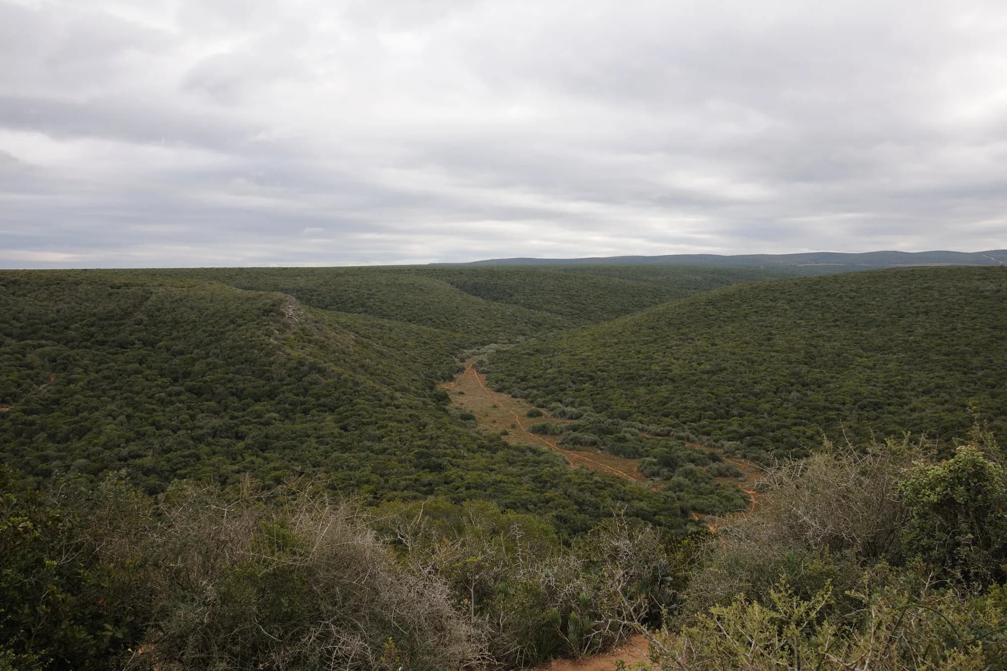
- How thick the thicket is. It is dense, low, grey-green and continuous, and it hides a lion completely at fifteen metres. This is not open savannah and nothing about the viewing is long-range.
- How small the main game area feels after Kruger. It is a compact road network and you will drive the same stretches repeatedly, which is fine, because the animals move and you are not covering ground for its own sake.
- How enforced the out-of-the-car rule is. Five lookout points and a picnic site, and nothing else.
- That there is no vehicle fee. Coming from Etosha or an Indian park, the absence of a charge for the car is genuinely disorienting.
- That the marine half of the Big Seven is not visitable. The park's own map says trips to Bird Island are not offered and whale watching is run by private operators from the city.
- That there is no mosquito conversation. The malaria question that shapes a Kruger trip simply is not on the table here, and the CDC's 2026 risk list explains why.
And the thing that surprises people most
That the best hour of the trip is often spent below ground level at a waterhole thirty metres from the restaurant, with no guide, no vehicle and no fee, watching elephants drink at eye level. Addo's great asset is not its size or its species list. It is that the park comes to a fixed point and you can sit at that point for as long as you like.
SANParks — Addo Elephant National Park visitor's map
Read 28 September 2026. The park's own printed visitor map, hosted by Nelson Mandela Bay Tourism because sanparks.org was unreachable. The file's embedded metadata gives a creation date of 12 August 2016, so it is a decade old and everything on it — gate times, distances, contact numbers, what exists at which camp — should be treated as needing confirmation. It is nonetheless the only document we could reach that carries game gate times by month, the internal speed limit, the park rules, the section-by-section activity lists and the camp-to-camp distances, and it is the park's own. It describes the larger marine protected area as proposed, which is consistent with a 2016 date; the area was declared in 2019.
https://www.nmbt.co.za/uploads/1/files/doc_addo_elephant_national_park_map.pdfCDC Yellow Book 2026 — South Africa, travel-associated infections
Read 28 September 2026; the page carries a publication date of 16 April 2025 for the 2026 edition. On malaria it names the risk areas precisely: "Plasmodium falciparum malaria occurs along the borders with Zimbabwe and Mozambique in the Mopani and Vhembe Districts of Limpopo Province; in the Ehlanzeni District of Mpumalanga Province; and in the uMkhanyakude District of KwaZulu-Natal Province." It adds that "Kruger National Park spans 2 provinces, Mpumalanga and Limpopo, and is considered endemic for malaria with seasonal transmission." The Eastern Cape appears nowhere in that list.
https://www.cdc.gov/yellow-book/hcp/africa-middle-east/south-africa.htmlWe carry no reported sightings
No log, no odds, no claimed recent sighting
There is no user-submitted sightings log on this site and nothing on this page claims that anything was seen on any particular date. We publish no percentage chance of lion, no strike rate for black rhino and no elephant count, because the first two would be invented and the third we could not source on the day. What the page does instead is tell you what the published science says about elephant density here, what the park's own material says is hard to see, and where you are allowed to sit still.
In a park whose defining characteristic is that the headline animal is nearly certain, that turns out to be more useful than a log would be. The interesting question at Addo has never been whether you will see an elephant. It is whether you will notice the beetle in the dung underneath it.