
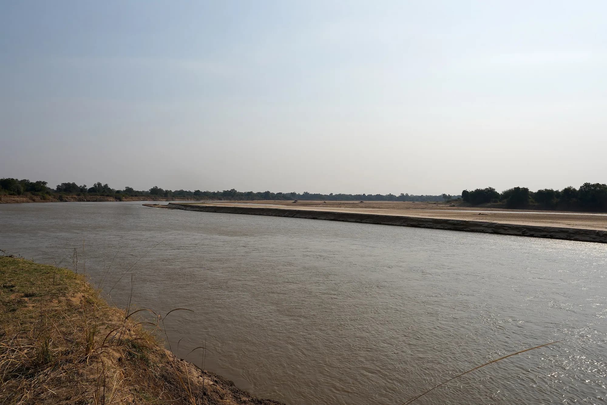
Zambia / South Luangwa / How to reach — South Luangwa
How to reach — South Luangwa
Almost everyone flies to Mfuwe. The people who drive take the Great East Road and then turn north, and how long that takes is the single most confidently stated and least sourced number on the internet about this park.
Mfuwe is the gateway, and it is the only one
Mfuwe International Airport sits in the Luangwa Valley on the park's eastern side and, in zambiatourism.com's words, "is the hub for air travel" for South Luangwa. Every camp in the valley, on both banks, resolves to it: the lodges send a road transfer, the remote bush camps add a light-aircraft hop or a long drive, and the whole booking structure of the park assumes you arrive there.
The three ways in, and what each commits you to
| Route | What it gives you | What it costs you |
|---|---|---|
| Fly to Mfuwe, transfer to camp | A same-day arrival into the park, no vehicle of your own, everything handled | You are a guest of a camp for the whole trip, in its vehicle, on its schedule |
| Fly to Mfuwe, then a light aircraft to a remote strip | The bush camps and the walking circuit without a half-day in a car | Baggage limits, a second fare that is often not in the room rate, and no flexibility on the day |
| Drive from Lusaka or Chipata | Your own vehicle, the run of the public road network, and the ability to stop | A long drive on roads we will not characterise, and the walking still has to be bought from a camp |
We publish no flight times, no airline names, no frequencies and no fares. Zambia's air schedules to Mfuwe are seasonal and we found no authority source we could read on the day.
zambiatourism.com — South Luangwa National Park
Read 28 September 2026, along with its activities and accommodation pages. A large and long-standing Zambian travel portal, and the source here for the 9,050 square kilometre area, the 1972 founding, the "60 different animal species and over 400 different bird species" line, the camp list and the statement that on a walk "a qualified walking guide and armed ranger will accompany you". We checked who publishes it and could not establish that: the site carries no ownership or publisher statement, and the only attribution in its footer is to the agency that built it. Treat it as a well-informed trade source rather than an authority, which is how it is labelled everywhere it appears on these pages.
https://www.zambiatourism.com/destinations/national-parks/south-luangwa-national-park/Why we publish no drive time from Lusaka
The road route is not in doubt: east from Lusaka on the Great East Road towards Chipata in Eastern Province, then north into the valley for Mfuwe. What is in doubt is every number attached to it. We could not reach a Zambian roads authority. The Ministry of Tourism publishes no route description. The Zambia Tourism Agency's national parks page carries none. zambiatourism.com's own getting-there content did not return road distances, driving times, surface descriptions or seasonal closures when we fetched it.
What we looked for and did not get
| Figure | Status |
|---|---|
| Lusaka to Chipata distance | No authority source reached |
| Chipata to Mfuwe distance | No authority source reached |
| Driving time, either leg | No authority source reached |
| Surface and condition of the Chipata-Mfuwe road | No authority source reached |
| Whether either leg closes seasonally | No authority source reached |
| Fuel availability between Chipata and Mfuwe | No authority source reached |
Every one of these is confidently stated on travel sites, and the stated values do not agree with each other. A wrong drive time on a road like this is not a rounding error; it is the difference between arriving before dark and not.
What to do instead of trusting us
Get the drive time from the camp you have booked, in writing, for the month you are travelling, and ask specifically whether the last leg is tarred. A camp that is about to receive you has a direct interest in the answer being right, and it knows what the road did last week. Then leave Lusaka early enough that a puncture does not put you on that road after dark, because it will.
zambiatourism.com — South Luangwa National Park
Read 28 September 2026, along with its activities and accommodation pages. A large and long-standing Zambian travel portal, and the source here for the 9,050 square kilometre area, the 1972 founding, the "60 different animal species and over 400 different bird species" line, the camp list and the statement that on a walk "a qualified walking guide and armed ranger will accompany you". We checked who publishes it and could not establish that: the site carries no ownership or publisher statement, and the only attribution in its footer is to the agency that built it. Treat it as a well-informed trade source rather than an authority, which is how it is labelled everywhere it appears on these pages.
https://www.zambiatourism.com/destinations/national-parks/south-luangwa-national-park/Zambia Tourism Agency — National Parks (zambia.travel)
Read 28 September 2026. The official tourism agency site linked from the Ministry of Tourism's own navigation, and the only government source we reached that says anything at all about the activity this park is famous for: "The Safari destinations in Zambia are very popular for walking safaris which were pioneered by Norman Carr." It publishes no entry fee, no tariff, no park opening dates, no sector map and nothing about armed escorts. Requests to the site root were refused with HTTP 403; the parks page itself served.
http://zambia.travel/nationalparks.htmlPublic roads through a national park, and the rule you are under
Zambian law treats a public road inside a National Park as a special case, and a driver should know the shape of it. Section 18(2)(d) of the Zambia Wildlife Act exempts from the entry offence "a person travelling through a National Park or Community Partnership Park along a public road within the confines of the road reserve". You may pass through. The exemption is bounded by the road reserve and by the word "through"; step off it, or stop and stay, and you are relying on a different exemption.
- Traffic signs inside a park prevail over contrary signs elsewhere, and the Public Roads Act 2002 provisions apply to signs placed under this section.
- Section 17(5) lets the Director, a wildlife police officer or an honorary wildlife police officer stop a person or vehicle using a public road within, leading to or leading from a National Park, for search, examination or questioning, and erect barriers and check points for the purpose.
- Failing to stop when ordered to, or failing to stop at such a barrier, is itself an offence under section 17(6).
- Section 20 makes conveying a firearm or other weapon into a park an offence without the Director's permit, with an exception for carrying one through in the course of a journey. If you are driving across Zambia with a rifle in the vehicle, that exception is the one you are relying on.
- Section 18(3) makes the permitted categories subject to any regulation charging a fee for entry or for the admission of a motor car, which is the hook the gate fee hangs on.
The distinction that matters at the gate
Driving through on a public road and entering the park are two different legal acts with two different consequences. If you are going to South Luangwa you are entering it, and the road-reserve exemption is not yours. Do not let anyone tell you that a through-road exemption covers a game drive.
Republic of Zambia — The Zambia Wildlife Act, No. 14 of 2015
Read 28 September 2026, in full. One hundred and two pages, 149 sections in 15 Parts, fetched as the FAO/ECOLEX copy of the English text because the Zambian Legal Information Institute served HTTP 403 behind a bot check to every request we made on the day, as did the National Assembly site, which timed out. This is the statute that governs everything a visitor does inside South Luangwa: who may guide, who may carry a rifle, what may be done after dark, and — at section 27 — who has the power to set the entry fee. It is the source for every legal statement on these pages. It does not itself contain a single figure in kwacha or dollars for entering a National Park.
https://faolex.fao.org/docs/pdf/zam163735.pdfInside the park, and what the road network is for
The Mfuwe sector carries an all-weather road network and the rest of the park largely does not. That single fact does more to shape a South Luangwa trip than any other piece of infrastructure, and it is why the sector with the airport is also the sector with the lodges, the night drives and the crowd.
Access by area
| Area | Road access | Practical consequence |
|---|---|---|
| Mfuwe sector | Densest network in the park, usable in most conditions | Two drives a day, a night drive every evening, and a trip that works in a wet shoulder month |
| Nsefu sector | East bank, reached by a river crossing | The crossing is the variable. Ask your camp how you get there in your month |
| Remote north and south | Thin, and in places deliberately absent — the walking circuits run through roadless country | Vehicle support rather than vehicle access; seasonal by construction |
| Escarpment side | Not developed for visitors | Not part of anybody's itinerary |
Composed from what the research literature says about accessibility and from the structure of the camp inventory. No authority publishes a road map or a road length for this park that we could reach.
The evidence that the rains really do close it
The 2016 leopard team could not sample the wet season because portions of both study areas were inaccessible, and lost one camera section in a November to early rains. That is a funded research operation with vehicles and a permit, working within six kilometres of the river. If they could not get in, a hire car cannot.
Rosenblatt, Creel, Becker, Merkle, Mwape, Schuette and Simpamba — "Effects of a protection gradient on carnivore density and survival: an example with leopards in the Luangwa valley, Zambia", Ecology and Evolution 6(11): 3772-3785 (5 May 2016)
Read 28 September 2026, in full, from the PubMed Central copy. Open access, peer reviewed, and co-authored with an officer of Zambia's own department. Camera traps on two matched grids either side of the Luangwa River across five dry seasons from 2012 to 2014, analysed with closed robust-design capture-recapture. It is the only rigorous leopard density estimate for this park that we could find, and the paper says as much about itself: these are "the first methodologically and statistically rigorous estimates of leopard density and survival" in the population. It is also the source for the park's area as the researchers state it (9,050 km2), the Lupande GMA area (5,660 km2) and the snare-occurrence comparison.
https://pmc.ncbi.nlm.nih.gov/articles/PMC4864144/Arriving, in practical order
The mechanics of an arrival here are simple and the failure modes are all about timing, because almost everything in the valley happens at the two ends of the day and a late arrival costs you a session rather than an hour.
- Land at Mfuwe. The camp meets you; confirm before you travel whether the transfer is in your rate.
- The drive to camp is itself a game drive if the camp is inside the park, which is the argument for landing in the morning rather than the afternoon.
- Park fees, if not included, are settled at the gate or by the camp. There is no online payment and no pre-booking portal.
- If your camp is on the east bank, your arrival includes a crossing. Ask how, and what happens if the water is high.
- If your camp is a remote bush camp, your arrival probably includes a second flight or a long transfer, and the light-aircraft baggage limit is a soft bag and a low weight.
- Build the arrival day so that you are in camp before the afternoon activity leaves, not after it.
The departure-day trap
A morning flight out of Mfuwe costs you the best game-viewing session of the day, and on a three-night trip that is one of six sessions gone. If the schedule allows an afternoon departure, take it, and if it does not, add the night.
Combining the journey with somewhere else
South Luangwa is at the far eastern end of Zambia and the rest of the country's parks are not near it. That geography, rather than any preference, determines which combinations are sensible.
What combines, and how
| With | Why it works | The catch |
|---|---|---|
| Lower Zambezi | The complementary Zambian park — canoeing and a big river against walking and a small one — and the domestic air network is built to link them | Two internal flights, and the seasons do not align perfectly: Lower Zambezi's canoeing months are not South Luangwa's peak |
| North Luangwa | The same valley, walking only, no public roads and almost no camps. The purest version of what South Luangwa invented | Access is genuinely restricted and it is a specialist trip, not an add-on |
| Mana Pools, across the Zambezi in Zimbabwe | The other great walking park of the mid-Zambezi, and the contrast is the point — armed and guided here, unescorted there | A border and a different country's park authority, and no sensible single-hop routing from Mfuwe |
| Victoria Falls and Mosi-oa-Tunya | The standard front or back end to a Zambian trip | It is the opposite corner of the country |
| Kafue | Zambia's largest park, and a genuinely different landscape | A long way west, and the Busanga season is narrower than South Luangwa's |
We publish no flight routings, frequencies or fares for any of these. The pairings are geographic and seasonal logic, not a schedule.